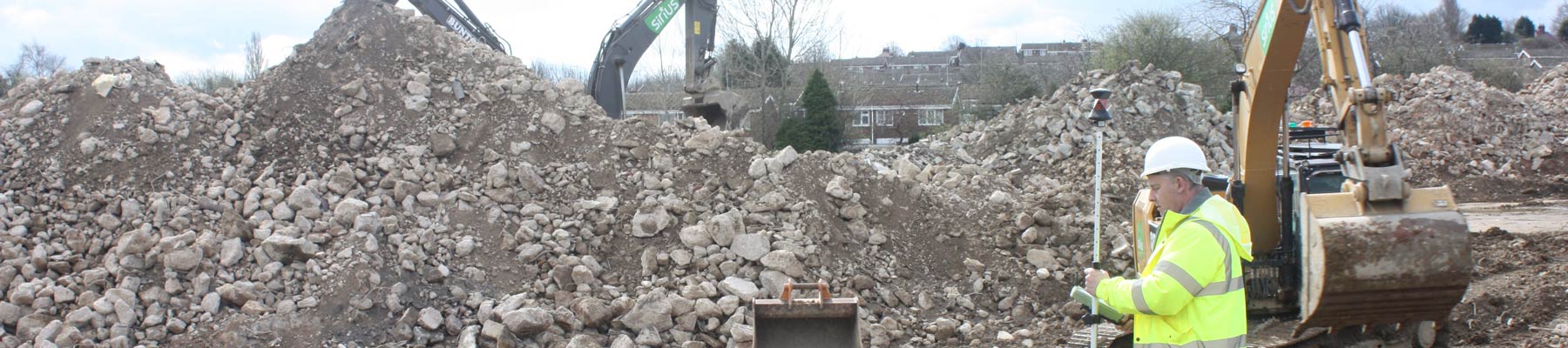
GPS Survey
Throughout West Yorkshire, including Leeds, Huddersfield and Wakefield, Stamford Geomatics utilise the latest GPS and Glonass Satellites to carry out surveys on large areas of land, in much less time than using more traditional surveying instruments. GPS is ideal for working on large open earthworks sites and can greatly increase productivity of surveying and setting out tasks, by loading three dimensional terrain models into the GPS controller, we can give real time cut and fill feed back to site staff.
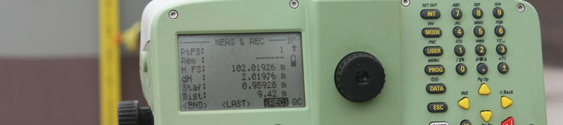
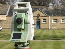
We are currently involved in setting up GPS machine guidance for backactors and bulldozers using systems from all major machine control suppliers, including Leica, Trimble and Topcon, with seamless output of three dimensional terrain models from LSS, Auto Cad and Trimble’s own Business Centre software. All our work is processed via modern instrumentation and computer software with inbuilt established workflows and quality control systems giving high levels of accuracy and traceability. For further information on GPS Surveys, complete our quick contact form below.